 SeamonWhiteside
 As the old adage goes, good fences make for good neighbors. History tells us that surveyors, even as far back as Pharaonic Egypt, helped establish boundaries for farms and other property to support ownership as well as construction and renovation efforts.
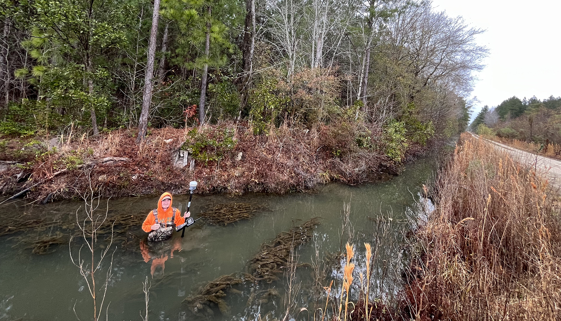
Surveying technologies have come a long way from square levels and compass and chains setups. But modern civil engineering firms still rely on surveying to understand critical information about the land parcels they wish to develop, from mapping the area’s unique topography to supporting good environmental stewardship.
Further reading:
- Book re-creates 18th-century roots of US surveying
- Using remote sensing to detect changes in soil surface elevation
- Need support staff at your civil engineering firm? The shortage is real
Burt Naumann, PLS, a senior vice president at GRAEF, a full-service engineering, planning, and design firm headquartered in Milwaukee, was the first surveyor to join the company nearly 50 years ago. Since then, he has grown a healthy surveying department for the firm, with his team working closely with its civil engineers to support construction projects.
“Being in the field and surveying is a critical part of civil engineering,” he said. “It is one of the oldest and most important aspects of engineering because you are responsible for determining where on Earth a project is, from the exact location to the exact elevation. If you go back in history, George Washington and Abraham Lincoln both worked as land surveyors. It was an important job back then, and it’s just as important of a job today.”
Establishing boundaries
Most people associate surveying with simply determining property lines. Sergio Van Dusen, P.E., M.ASCE, president of Vogt Engineering in The Woodlands, Texas, said having this information is crucial when starting any project.
“You have to know what’s yours, and you have to know what’s not yours,” he said. “Ninety percent of a successful project is taking care of your neighbor. That means making sure you are not encroaching on their property or building something that might cause issues on their property like improper drainage. Knowing the boundary conditions really is critical to almost everything we do.”
 SeamonWhiteside
Craig Alberg, P.E., director of contract administration at WSB, a design and consulting firm specializing in engineering, community planning, and environmental and construction services headquartered in Minneapolis, said having a survey can help civil engineers be more “proactive” in their designs, avoiding costly pitfalls once construction has started.
“When we have surveyors or survey technicians on-site to stake out the property, verify grades, and give us the information we need, we can create the right plan for the project,” he said. “We’ll know, from the beginning, ‘If we build it this way, there may be potential conflicts that could affect the neighbors.’ By anticipating them in advance, before they happen, we are much more likely to meet the requirements for the project.”
Michael Schmieder, PLS, who leads the land surveying team at SeamonWhiteside, a company that provides civil engineering and landscape architecture services with offices across the Carolinas, agreed. He said today’s surveys provide crucial information about the land’s topography, as well as unique features to the property, that can help support strong engineering designs.
“Knowing what’s down the road or what’s next door is just as important as knowing the land you are building on,” he said. “When you have the correct data, you can better ensure that whatever you build is going to be a benefit to the community and not a detriment.”
Modern technology, new insights
Naumann said one of the biggest misconceptions about surveying is that it’s a trade, not a profession. And, he added, it’s a very important profession when firms are developing projects worth millions of dollars.
“There is a lot of liability involved with construction. You need to make sure that things are measured correctly and you are putting the right things on the right location,” he said. “Surveying does that.”
When Naumann started in the field, surveyors relied on electronic distance measuring devices to make their measurements. Today, however, surveyors can use different technologies that leverage GPS and lidar remote sensing methods. These have significantly helped increase data accuracy – speeding up the time it takes to survey, plan, and build a development project.
“Thanks to these advances, we can survey large tracts and don’t need as much time and labor to get it done,” Van Dusen said. “We can also get surveys now that are georeferenced, which we can put directly into computer-aided design software to know we have the right coordinates for our plans.”
Alberg said that WSB has implemented new solutions that allow surveys to be integrated directly into 3D design models, giving surveyors, engineers, contractors, and inspectors the same single source of truth to work from for any project. If the surveyor or engineer has to make a change, it is automatically updated for everyone.
“Having this integration has eliminated a lot of inconsistencies and makes sure that everyone has the right set of plans,” he said. “It also allows us to do visualizing using augmented reality. We can go out to a site and actually look at the area, overlaying the future plans so we can see what is going where.”
Surveying for environmental stewardship
Another benefit of surveying, Schmieder said, is having the data on hand to help developers be good environmental stewards. For example, he and his colleagues recently worked on the Angel Oak Preserve, the area around the Angel Oak, a large Southern live oak that is hundreds of years old, on Johns Island in South Carolina. He said surveyors gave engineers a lot of crucial information to make sure this natural treasure was not disturbed by their development.
“The surveys helped the team know where the tree is, where a lot of its branches are, and understand the topography around the tree,” he said. “Having that information is very important to make sure any designs aren’t adversely affecting the tree, to make sure it stays healthy while making the area able to accommodate more visitors.”
Van Dusen added that surveyors can even help civil engineers reuse materials for revitalization projects. He mentioned a recent project in Houston that wanted to leverage historic brick that was already on-site.
 SeamonWhiteside
“Our surveyor used a low-altitude drone with GPS to help us calculate how much of the existing brick is usable; we could even get the approximate square footage of that brick,” he said. “That’s going to help us determine where to use it, whether it’s in sidewalks or parking areas. It gives us a level of detail that can help us quickly figure out what’s possible.”
Naumann added that surveyors, working with environmentalists and land use planners, can help support the building of more sustainable construction and infrastructure. Surveyors can help with floodplain mapping and elevations. And with that data in place, developers can make sure they are meeting local regulations and designing in ways that help avoid future issues due to flooding or other problems related to climate change.
“We’re doing a lot of projects to help fix environmental issues and help with sea-level rise,” he explained. “Surveyors are often the ones doing the elevation leveling to determine exactly where the floodplain line is – and make sure what’s built is appropriate for the area. When we work together with the engineering team, we can collaborate so we can build things that will last over the long term.”


