
By Kayt Sukel
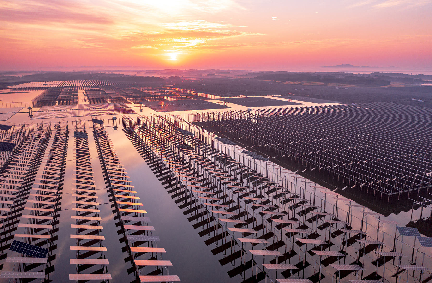
The Inflation Reduction Act and the Infrastructure Investment and Jobs Act have allocated billions of dollars to expand the nation’s investment in renewable energy. As a result, the number of wind and solar energy farms has grown, and continues to grow, across the country.
But with a documented drop in lands available for building such installations in the United States, it is becoming increasingly important to pick sites that will allow energy stakeholders to make the most of their investments. And new research from the Massachusetts Institute of Technology suggests that modeling to promote complementarity — or the ability for different sites to augment and compensate for one another in time and space — can support not only more efficient operations, but also more economically sound ones.
“From a historical perspective, we’ve looked to renewable energy development to help us drive down the cost of energy,” says Michael Howland, Ph.D., the Esther and Harold E. Edgerton Assistant Professor of Civil and Environmental Engineering at MIT. “Over the last few decades, the costs of energy for wind and solar have plummeted to the point where they are, without subsidy, competitive with fossil fuels in most markets.”
Yet, Howland argues, it is important to think beyond the cost of energy at the level of the individual turbine or solar farm. Instead, it is crucial to consider how to design and site renewable power generation that “maximally services the energy grid.”
“The current practice (for choosing sites) is the system operator has a target,” explains Liying Qiu, Ph.D., postdoctoral associate for the MIT Climate and Sustainability Consortium. Developers may determine they want to have 30-50% renewable energy farms to help provide energy for a particular area, but it is a challenge for them to determine where to build them to gain the greatest efficiency and economy for the greater system.
Refining the traditional approach
According to a Department of Energy spokesperson, renewable energy siting is a complex task, and no two projects are the same.
“Renewable energy developers evaluate the viability of a potential site by assessing the available renewable energy resources at the site, access to transmission, interest from an offtaker (such as a utility), availability of land to lease or purchase, potential environmental impacts, local policies and laws, and community support,” the spokesperson said.
After receiving a renewable energy permit at the state and/or local level, developers will use information like wind speed, elevation and slope of land, and proximity to transmission lines, as well as other pertinent data points, to make their ultimate site decision. But often, Qiu says, the developers simply go to the place where they can find the most wind or solar activity on average. And that, she adds, does not guarantee that it will be the best option to support a multirenewable, decarbonized energy system.
The MIT research project began with the simple question of where to best place renewable energy sites, and it looked to refine the traditional model so that stakeholders could select locations that would best harness the natural variability in wind and sunlight patterns.
That led to the team incorporating fine-grained weather data from the National Renewable Energy Laboratory and information about energy use into their model. This provided the opportunity to do regional-level planning to maximize utilization of all renewable resources. In doing so, Qiu notes, they discovered that taking a systems-level design approach, coordinating the siting of different types of renewable energy installations in a particular area, can allow stakeholders to control energy production — and reduce costs — by letting sites work together to provide the region’s specific needs.
When the group tested the model to select sites in New England, Texas, and California, they found that having such high-resolution data in the model allowed them to align renewable power generation with demand. Instead of trying to have each individual site produce as much energy as possible, which requires expensive storage capabilities, the team could allow different sites to work in concert, using the natural variability to dictate which plant produced energy at what time. For example, areas that tend to have stronger winds at night can rely on wind farms for energy production at that time, and likewise for solar installations in the afternoons when sunshine is at its peak.
“When we started modeling to help support siting decisions, we didn’t aim to look at complementarity. But it turns out that it plays an important role in those decisions,” Qiu states.
Leveraging complementarity
The DOE spokesperson said that multiple types of renewable energies have been shown to be beneficial, and their own research has revealed that complementarity has value. When solar and wind resources are incorporated into a larger network, they have synergistic generation profiles over the course of a 24-hour period, as well as seasonal complementarity in some regions.
“The evaluation of two complementarity metrics over annual and seasonal timescales has shown in some cases that combining multiple variable renewable energy resources can reduce the variability in daily plant output across many regions of the United States,” the DOE spokesperson states. But “it is important to note that complementarity on its own cannot predict the competitiveness of hybrid energy systems. The economics of a power plant ultimately depend on its ability to deliver power during periods of greatest need and value.”
Qiu concurs. And this ability to deliver power during those peak times becomes even more important as energy stakeholders consider the impact of climate change. The variability seen in wind and solar power generation could change over time, which is why Qiu and her colleagues are looking to expand their models.
“With future climate change, energy demand will increase because of rising temperatures. It’s expected that wind variability will also increase with climate change,” Qiu notes. “This is a new investigation for us: how (climate change) would bring new risk to the system and how we can adjust our designs to increase our resilience in future climate change scenarios.”
That work is ongoing, but in the meantime, energy stakeholders can take a closer look at the MIT model (https://linkinghub.elsevier.com/retrieve/pii/S2949790624004245), which is open source and available to the public. Qiu also recommends that solar and wind energy developers start collaborating more, so that they can devise optimized system-level designs with the power to provide the most benefit in the regions where they are building.
“We need high-level coordination — and, to achieve that, we need high-resolution weather data to help with this kind of decision-making,” says Qiu.
“This study demonstrates in detail that available high-resolution meteorological data can actually be used for planning,” notes Howland. “That’s true both in the historical record where we have a lot of relatively low-resolution weather data, but also in climate change scenarios. In our work, we are trying to identify what data are most impactful and give us the best information to design our energy systems in the future.”
Kayt Sukel is a science and technology writer based outside Houston.
This article first appeared in the March/April 2025 issue of Civil Engineering as “Maximizing Renewable Energy Costs through Complementarity.”