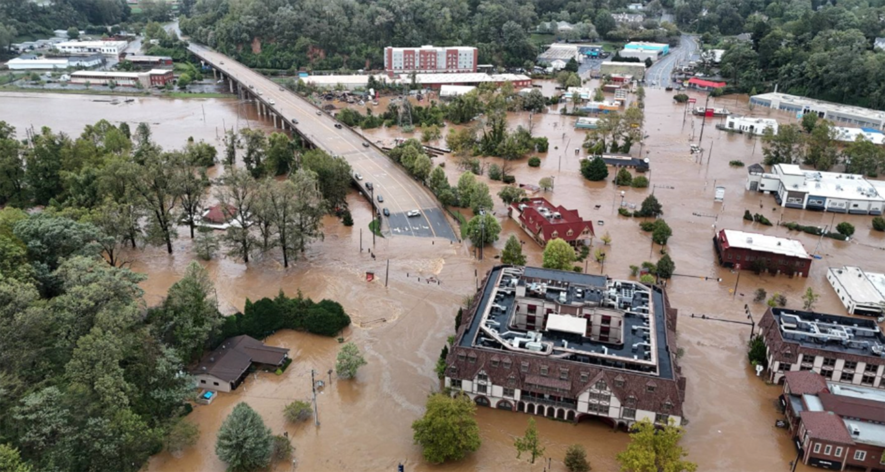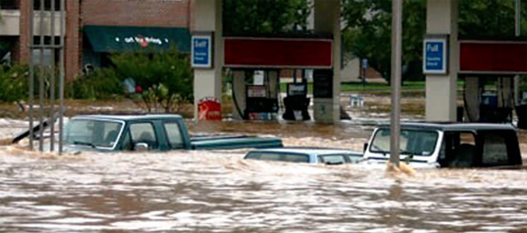
When Hurricane Helene barreled toward Florida earlier this year, residents of the state’s Big Bend region had been warned about the fast flooding that the Category 4 storm might bring. But those in Asheville, North Carolina, tucked in the Blue Ridge Mountains nearly 500 miles away, weren’t as prepared.
Though Helene had been downgraded to a tropical storm by the time it reached the Tar Heel State, the region’s ground was already saturated from previous days’ rains – and the additional intense precipitation resulted in unprecedented flooding and mudslides in the region.
Further reading:
- In a changing world, better flood modeling informs designs that stand up
- How civil engineers must adapt to the new risks of flooding
- New ASCE 7-22 supplement on flood loads now available as free download
“This was a worst-case scenario,” said Joseph Pica, deputy director of the National Centers for Environmental Information within the National Oceanic and Atmospheric Administration, who lives in the Asheville area. “That combination of rainfall showing up ahead of Helene and then the storm itself was what made the flooding so bad. But those are the kinds of scenarios that we are seeing more and more often.”
Experts called the fallout from Helene not a 100-year flood, a term that is often bandied about when it comes to big storms and flooding, but a 1-in-1,000-year event. But, as Pica said, with extreme weather events occurring more often and engineers relying on the 100-year flood model to design the nation’s critical infrastructure, many believe it’s time for this type of risk evaluation – or at least the phrase attached to it – to be retired.
Such calls, however, beget a crucial question: What should be put in the 100-year flood model’s place in order to support the design of infrastructure that can better withstand extreme flooding events in the future?
Understanding the 100-year flood model
Almost everyone agrees that the 100-year flood name is, at best, misleading. Developed in the late 1960s by the National Flood Insurance Program as the regulatory standard for new development and flood insurance programs, it does not mean a flood that is likely to occur every 100 years but, rather, pertains to a flood with an approximately 1% chance of occurring in any given year.
“This model was not intended to convey the risk at any particular location – but it’s now been co-opted and used in that way,” said Daniel Wright, Ph.D., A.M.ASCE, an associate professor of water resources engineering at the University of Wisconsin-Madison. “And that’s leading to all sorts of problems.”
Shirley Clark, Ph.D., P.E., BC.WRE, ENV SP, F.EWRI, M.ASCE, head of the Urban Stormwater Infrastructure Research Group at Penn State Harrisburg, says engineers today use the 100-year storm model to understand the risks that an engineering system might fail due to flooding. They rely on NOAA’s National Water Prediction Service’s Atlas tool, which gathers precipitation data from the past 30 years so people can estimate expected rain intensity and depth for a specified storm duration based on location.
“This gives us a risk-based calculation, which was designed originally to help us keep highways and streets accessible for emergency personnel,” she said. “But the challenge with any model is making sure all the variables are right.”
And the variables currently used by Atlas may not be modeling the future. The latest data demonstrates that the past 30 years of rainfall does not represent the extreme weather events of today – or tomorrow. For example, over the past few decades, the country has seen a larger number of intense single-day precipitation events, which can easily overwhelm stormwater management systems. In addition, there is a greater percentage of land area seeing more precipitation than in past decades.
“Research over the past 20 years shows us increases in precipitation over time – and that’s a pretty short period of time,” said Robert Traver, Ph.D., P.E., BC.WRE, F.EWRI, F.ASCE, director of the Villanova Center for Resilient Water Systems. “It’s not just that the 100-year event – the 1% every year being equal or exceeded – needs to be updated, but we also need to update our models based on the mechanisms in the atmosphere that are changing now due to climate change and will continue to change as we move forward.”
Wright agreed. “There are very clear signals, particularly in more humid areas in the United States, that we are moving toward more frequent or heavier storms in the future,” he said. “And there’s every scientific reason to believe that trend will continue.”
Shaping tomorrow’s models
To better meet the needs of future infrastructure designers, NOAA signed a memorandum of understanding with ASCE in 2023 with the goal of designing products and tools, like Atlas, to better inform building and civil engineering codes. Pica said that the newest version of Atlas, Atlas 15, will not only provide stationary precipitation data from the past 30 years like its predecessor, it will also have a second nonstationary data component to help model what future extreme weather might look like based on climate change predictions. Atlas 15 is expected to be available for geographic locations in the contiguous United States in 2026 and outside of it a year later.
“We can no longer make the assumption that the next 30 years will look exactly like the last 30 years,” Pica said. “So, Volume 2 of Atlas 15, which will use nonstationary data, will use climate projections in tandem with historical data to inform the volume, so when engineers build bridges and buildings, they know they are considering the extreme flooding hazards they need to build for so that piece of infrastructure can last.”

NOAA isn’t the only government agency working on improving its models. The Federal Emergency Management Agency introduced the Future of Flood Risk Data initiative in 2020. To build for the future, Wright said, engineers and water resource management experts will need more than just precipitation data for their models – they also must consider all the variables that may hasten or hinder flooding after storms, including impervious surfaces built into the landscape.
“There’s a lot we don’t really have pinned down about what happens to rainfall once that water hits the ground, even under current climate and land use conditions – let alone future ones,” he said. “We should be building out that kind of data and putting it into the models we produce to take a more informed risk-based approach to flood hazard mapping because every place in the country has some kind of flood risk – and the current generation of maps don’t convey that.”
Translating for use
As these organizations work on the next generation of flooding models, the next challenge will be translating them for use. Clark said that infrastructure stakeholders know how to make sense of existing codes and standards based on Atlas 14. But trying to project potential flooding into the future is going to add a lot of uncertainty, which will make projections harder to interpret.
“That’s where things start to get fuzzy because you’ll have error bars,” she said. “You’ve got uncertainty analysis that you have to explain. The public stakeholders, like city commissioners, are going to ask questions. And they should because they need to be responsible stewards with public money. But we will really need to think about how we incorporate climate change projections and how we talk about them with the places that need flood mitigation because larger systems are going to have larger costs involved.”
Traver added that these new models may also require some communities to go back and reevaluate their existing infrastructure – which will also require community education and engagement.
“We don’t like to go back and look at something after we built it,” he said. “But things we thought were well designed 20 years ago may not be well designed today. And we should know that by going back and looking at the parameters to see how well they do when put up against newer flooding data.”
While there is no one-size-fits-all solution to coming up with a flooding model that can do all things for all infrastructure needs, government agencies, as well as civil engineers representing structural engineering, water resources management, geotechnical engineering, transportation, and other specific civil engineering disciplines, are working together to develop new ways to understand future flooding risks from heavy rains – and, with those tools in place, be in a better position to build strong infrastructure to withstand whatever storms may come.
“We can’t put all the data in one box – and there’s not going to be one solution that will fix everything,” Traver said. “But we are beginning to understand that if the latest storm was the biggest you’ve ever seen, there’s probably another bigger one coming. And we can work together to create strong models that will give us the information we need to design better.”


